Drone Accessory DJI Zenmuse L2 CP.EN.00000505.02
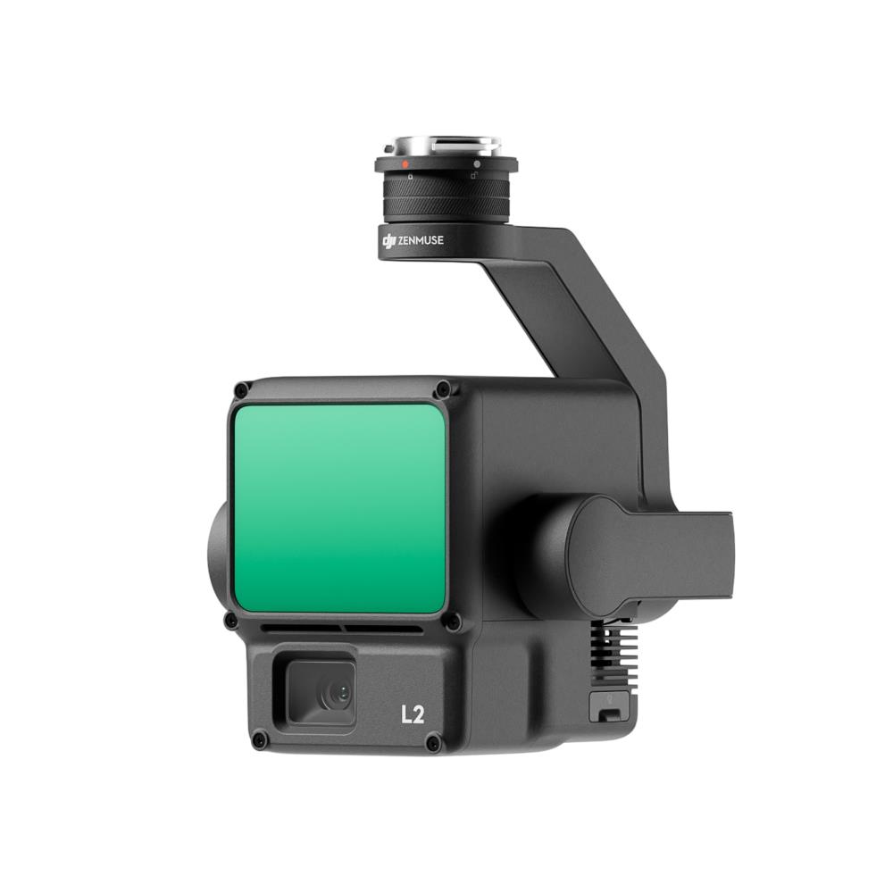
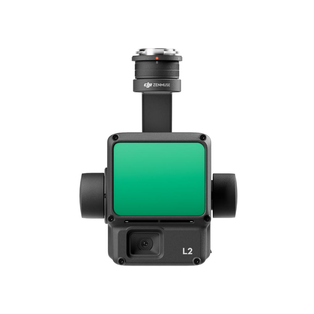
High-precision aerial LiDAR system combining LiDAR, high-accuracy IMU, and a 4/3 CMOS RGB camera for reliable geospatial data acquisition and 3D mapping.
DJI
15.849,19€
€13,098.50 (bez PVN)
High-Precision Aerial LiDAR System Zenmuse L2
Zenmuse L2 integrates frame LiDAR, a self-developed high-accuracy IMU system, and a 4/3 CMOS RGB mapping camera, providing DJI flight platforms with more precise, efficient, and reliable geospatial data acquisition. When used with DJI Terra, it delivers a turnkey solution for 3D data collection and high-accuracy post-processing.
| Unit Box Height | 0.3 |
| Unit Box Length | 0.345 |
| Unit Box Width | 0.245 |
| Drone product line | Enterprise |
| Drone accessory type | Other |
| Model name | Zenmuse L2 |
| Operating temperature range | -20° to 50° C |
| Dimensions | 155×128×176 mm |
| Units per Shipping Box | 1 |
| Unit Calculated Volume | 0cubm |
| Product Net Weight | 1kg |
| Unit Calculated Weight | 3kg |
Based on 0 reviews
Only logged in customers who have purchased this product may leave a review.


There are no reviews yet.